Burton – Grittleton – Hullavington – Norton – Alderton – Acton Turville – Burton
17.3 miles, 530ft climbing (160m)
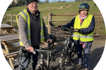
Article by Ian Wilson
Download map
Leave Burton eastbound on the B4039 then turn left opposite the Coachstyle depot towards Littleton Drew. Pass under the M4 then take a right turn on to an unsigned lane just before entering the village.
At the next T-junction turn left then in due course pass through Grittleton village. Continue through the hamlet of Clapcote then after a downhill stretch turn left at a minor cross-roads (a slightly shorter but rather featureless alternative is to continue on the main road). Follow this quiet lane until a junction emerges from the right. Take this route which works its way back to the original road in Hullavington.
Continue through Hullavington then turn left at the junction just beyond the village. Remain on this road until Norton, where continue as the road bends to the left.
Presently the road bifurcates. Continue straight ahead (leaving the principal road which bends to the right). Ignore the lane joining from the left, where one of the earlier rides joins this route. Shortly afterwards turn right at a T then left at the next T to join the Fosse Way.
Continue on the Fosse Way until half a mile after crossing the railway turn right signed Alderton. Turn left at the Alderton village sign then enter the village by the pond. Turn left at the cross-roads then follow this lane for two miles until a T after a short rise where turn right.
After another two miles enter Acton Turville , turn left and return to Burton on the B4039.
0 Comments