A place’s name can tell us much about its history, including settlement patterns, landscape, agriculture, farming and commerce, language, societal hierarchies, administration, cultural attitudes, religion and regional politics.
We’ve been delving in the archives to find out more about our local area.
Settlements
- Burton: the earliest mention of Burton dates from 1244 AD. The name derives from burhtun, meaning farm (tun) by a borough.
- The Gibb (1830): also, The Gib. Diminutive of Gibraltar, the name for the extreme south projection of the parish of Littleton Drew. Included here as part of the hamlet falls within Nettleton civil parish. (Anyone else thought it was so named because in time’s past, it was where local ne’er-do-wells were hanged from a gibbet?)
- Nettleton (940 AD): Netelin(g)tone, Netlinton, Netelyntone. Thought to be from the Old English (OE) personal name Nēðel + tun = Nettle’s farm.
- Nettleton Green: probably the home of William atte Grene.
- Nettleton Shrub: also Nettleton Shrubb (occasionally, Nettleton Scrubb): shrub meaning a thicket.
- West Kington (1195 AD): Weskinton, West Keynton. Probably OE cyne-tun ‘royal farmstead or manor’, with West to distinguish from Kington St Michael.
Waterways
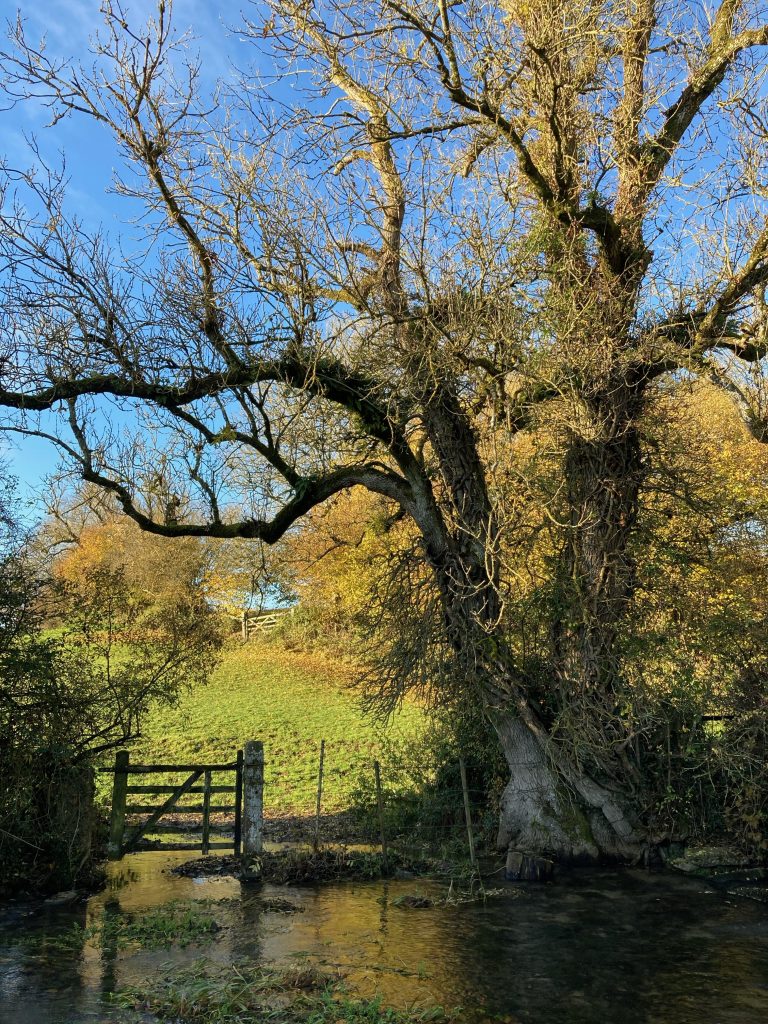
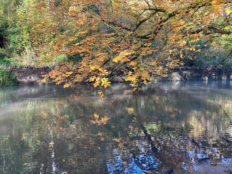
- Broadmead Brook (944 AD): originally alor broke ‘alder brook’. Its present name possibly from a nearby field named le Brodemede (1422).
- By Brook/Bybrook (944 AD): first recorded name (anglang) Þe fer, andlang wæfer (1200), may derive from winding, relating to the Latin uibrare. Weaverne Brooke (1623), Wavering Brook (1862). The modern name is probably a back-formation from Bybrook House, Castle Combe, meaning by the brook.
Roads
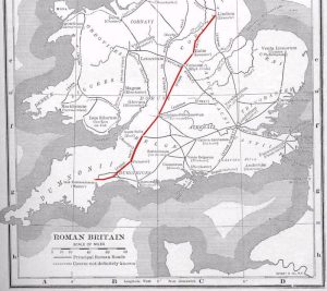
- The Fosse Way: Fosse derives from the Latin fossa, meaning ‘ditch’. It is a Roman road built during the first and second centuries AD. For the first few decades after the Roman invasion of Britain in 43 CE, the Fosse Way marked the western frontier of Roman rule in Iron Age Britain. It is possible the road began as a defensive ditch later filled in and converted into a road, or a defensive ditch ran alongside the road for at least some of its length. For 182 miles (293km) of its length (from Lincoln to Ilchester), the route is never more than 6 miles (10 km) from a straight line.
Acknowledgement
With grateful thanks to the Wiltshire & Swindon History Centre, Cocklebury Road, Chippenham.
References
Blair, Peter Hunter (2003). An Introduction to Anglo-Saxon England. Cambridge University Press.
Gover, J.E.B et al, (1939), The Place Names of Wiltshire.

1 Comment
Landscape Archaeology - Burton in Wiltshire · 03/24/2023 at 11:17 am
[…] Fosse Way is still in use today. An excavation by Clifford Bateman (1998) indicates a section of the road was […]